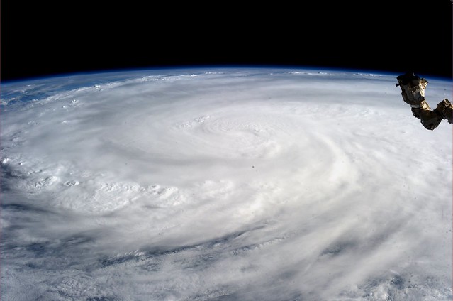
Typhoon Haiyan, photo by Karen Nyberg/NASA
While we’ve featured OpenStreetMap before, what you may not know is the important role they play during disasters.
During a disaster, the Humanitarian OpenSteetMap Team (HOT) activates to help coordinate mapping of disaster areas. These activities include mapping out roads, buildings, locations of refugee camps, and other resources. In addition, they also maintain a wiki with information about the disaster. To get an idea of what this looks like, here’s what the OSM community did after the earthquake in Haiti.
OpenStreetMap – Project Haiti from ItoWorld on Vimeo.
Currently, OpenStreetMap is looking for people to help in this effort. If you have an OpenStreetMap account, you can log into the OSM Tasking Manager and select tasks. Most of the current tasks involve tracing buildings and roads to help relief workers on the ground navigate.
If you don’t have an OpenStreetMap account, you can sign up for an account for free here. OpenStreetMap is easy to use and there are several tutorials available, including this one by Chicago’s very own Ian Dees.
If you have time available, please consider spending some time assisting OSM in the effort. For questions directly relating to the HOT Team at OSM, you can email them at [email protected].


 Website")

