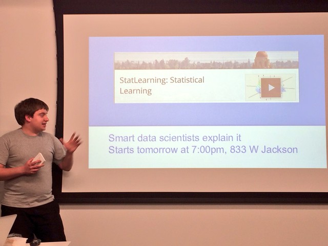
At last week’s OpenGov Hack Night, Nick Dorian spoke about GeoGit and GeoGinger and how they can help with the process of making maps.
One of the issues with GitHub is that it’s not a great tool for tracking changes in maps.
GitHub has a great feature that will show the differences in changes in a repository. For example:
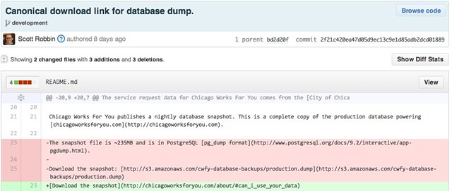
You can see in red what has been deleted and the green text shows what was added for this particular commit. However, when changing arounds map data – the difference looks like this:
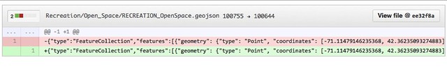
Image Courtesy Nick Dorian
It doesn’t really show the changes that were made in a way that anyone can understand.
Using GeoGit, you can easily keep track of the differences in geographic data from one commit to another.
Nick explains how it works here:
While GeoGit helped to identify changes in geographic data, there wasn’t an easy way to push this information back into GitHub. So, over the summer Dorian built GeoGinger as a way to bridge GeoGit and GitHub. Here’s Nick explaining GeoGinter:
Both GeoGit and GeoGinger are open source projects that can be found on GitHub.


