In December, a new export option for spatial datasets became available on the data portals for Cook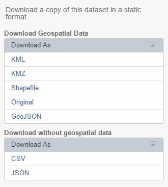
County, City of Chicago, and State of Illinois. Previously, datasets such as parcels, streets, address points, and boundaries could be downloaded as a KML, KMZ, or Shapefile. Now, GeoJSON has been added to the list of Download options.
GeoJSON data can be easily used with web mapping tools like Leaflet.
For more on the GeoJSON export option, see the Socrata documentation.


